Cross-Country At Last!

Although I had the GPS turned on, it was only there for safety's sake, and we didn't use it at all. Instead we mostly used pilotage and ded (dead) reckoning, with some VOR navigation thrown in. It was hazy, but there were a couple really pretty moments. Although my photo didn't come out well, the early morning sun was lighting up Baltimore's Inner Harbor in bright, neon-like orange.

When we left Lancaster, we were instructed by air traffic to follow the western bank of the Susquehanna River, up past Harrisburg International Airport and the big nuclear power plant on -- drum roll -- Three Mile Island. The river was pretty, and it was fun to follow the curves of the river. Later, after we climbed out of Capitol City, there was a layer of scattered clouds right at the altitude we were planning to use. We decided to climb above it. We did, and ten minutes later realized we had made a mistake. It was beautiful, because the air was clear, but what had been scattered clouds seemed to knit together under us to become one solid overcast layer.
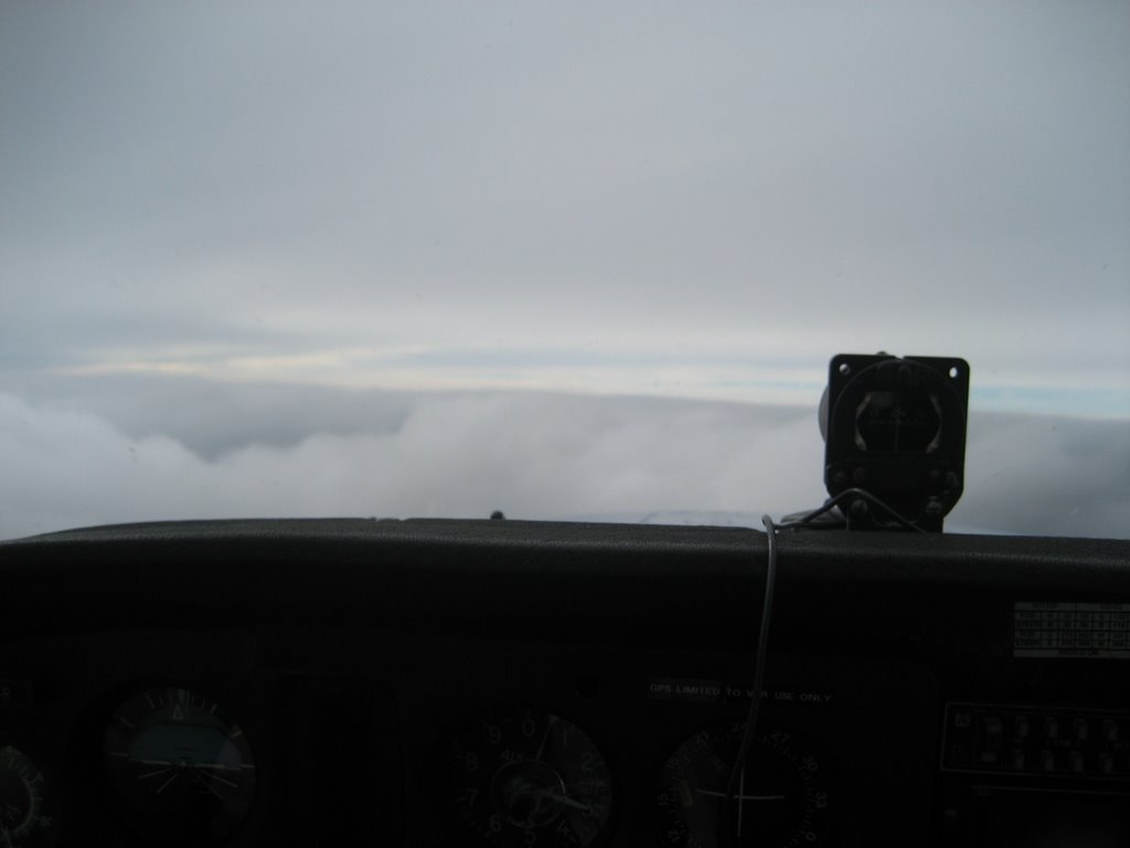 When we finally found a hazy opening where we could see the ground, we took it, telling the bewildered controller that yes, although we had just requested a higher altitude, now we wanted a lower one. The opening wasn't very large, but with some steep s-turns we made it down through without breaking any rules.
Above the clouds, of course, you can't see the ground to navigate by pilotage, and for some reason we weren't receiving the Hagerstown VOR signal. We were only a few miles north of Camp David, and didn't want to break into the restricted airspace. If we hadn't found that break in the clouds and been able to get below them, I would have broken the "rules" of the flight and used the GPS.
Total flight time for the trip was 3.1 hours, which means that I got my required cross-country training all in one flight. Probably one more dual cross-country, then my solo cross-countries. Making progress.....!

Labels: airport, flying, gps, navigation, Rich
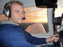
posted by Greg at 7:29 PM
![]()
![]()

0 Comments:
Post a Comment
Links to this post:
Create a Link
<< Home